Ski Sundown Trail Map | Stats | New Hartford, CT | Ski Sundown

Ski Sundown Trail Map

Get the lay of the land.

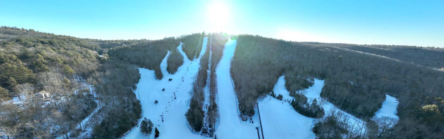
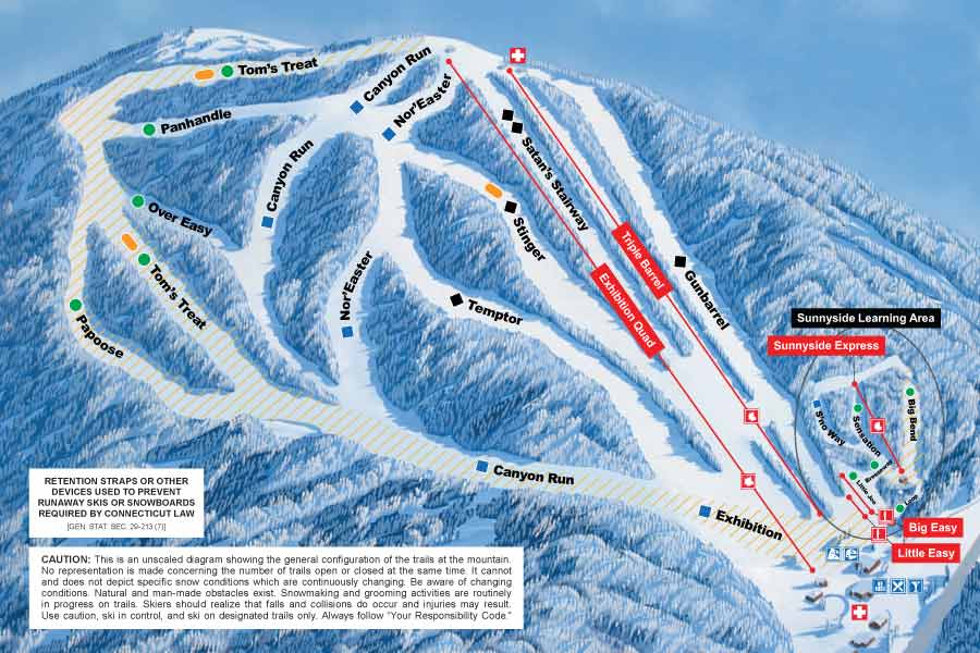
Get to know Ski Sundown’s terrain before you arrive. With 17 trails spanning 70 skiable acres, a 625-foot vertical drop, and 100% snowmaking coverage, Ski Sundown offers reliable, well-groomed terrain for every skill level — from first-timers to advanced skiers and riders. Download our trail map below to plan your runs, or explore the mountain statistics to learn more about our terrain, lifts, and season.

Trail Map

See a map of all of our trails. Plan your runs before you arrive!

Download Trail Map

Mountain Statistics

Trail Stats

Trail Mix
70 skiable acres
53% Easier (9)
23% More Difficult (4)
18% Most Difficult (3)
6% Extremely Difficult (1)

Longest Trail
Tom's Treat (Easiest)
1 mile

Mountain Stats

Vertical Drop
625 feet

Elevation
Top: 1075 feet
Base: 450 feet

Snowmaking
100% on all trails

Terrain Park Stats

Trails with Parks
Stinger
Tom’s Treat

Lift Stats

Lift Types
1 quad chairlift w/ conveyor
2 triple chairlifts
2 conveyors

Lift Capacity
8,640 skiers per hour

Season Stats

Skiing Season
Early December to late March

Average Length of Season
90 days

RFID Stats

RFID Lift Access
2 Go Card Kiosks
10 RFID Axcess Smart Gates